top of page
_edited.jpg)

Survey and inspection data captured using drone-based methods
Processed and delivered in formats ready for engineering and planning use.


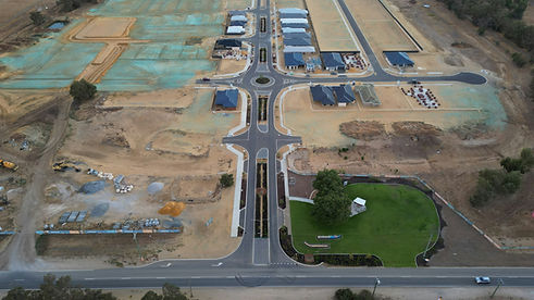
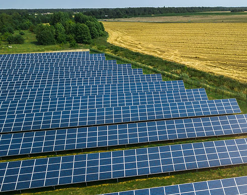


Flyrone Solutions helps infrastructure and asset owners gain clear visibility into their assets through high-accuracy aerial data. We support smarter planning, safer operations, and more informed decision-making across the full project lifecycle.
Sid Chikatimalla, Founder
bottom of page